Beit Yeshua
Israel Trip
17 October 2011
Day 6
Home
DAY 1
12 October 2011
DAY 2
13 October 2011
DAY 3
14 October 2011
DAY4
15 October 2011
DAY 5
16 October 2011
DAY 6
17 October 2011
Walking In & Around
the Old City
Warren's Shaft
Pool of
Shiloah
2000 Year Old
Stepped Road &
Drainage Canal
The Ancient
Road
Robinson's Arch,
Shops & the
Trumpeter's Station
The
Southern Steps
Walking Through
the Old City
The Temple
Mount Faithful &
Gershon Solomon
DAY 7
18 October 2011
DAY 8
19 October 2011
DAY 9
20 October 2011
DAY 10
21 October 2011
DAY 11
22 October 2011
DAY 12
23 October 2011
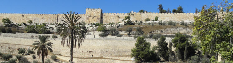
The Eastern Gate - The Old City Wall - Jerusalem
Isaiah 62
6I have set watchmen upon thy walls, O Jerusalem, which shall never hold their peace day nor night:
ye that make mention of the LORD, keep not silence,
7And give him no rest, till he establish, and till he make Jerusalem a praise in the earth.Psalm 122:6 Pray for the peace of Jerusalem: may they prosper who love you.
Day 6
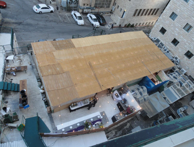
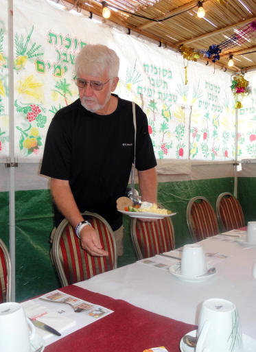
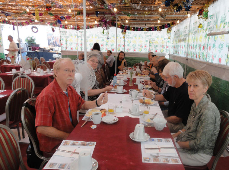
On Day 6 of our trip, we woke up in Jerusalem at the Prima Kings Hotel. We had specifically made plans to be in Jerusalem for Sukkot (The Feast of Tabernacles/Booths). The hotel had a LARGE sukka set up behind the hotel where we ate breakfast and dinner each day.
Looking down on the sukka from our 6th floor balcony
Enjoying a wonderful breakfast in the hotel sukka

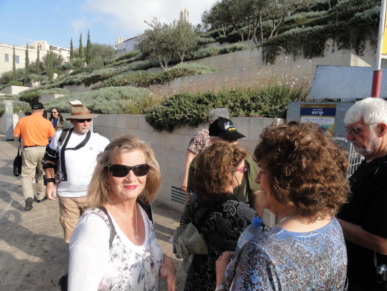
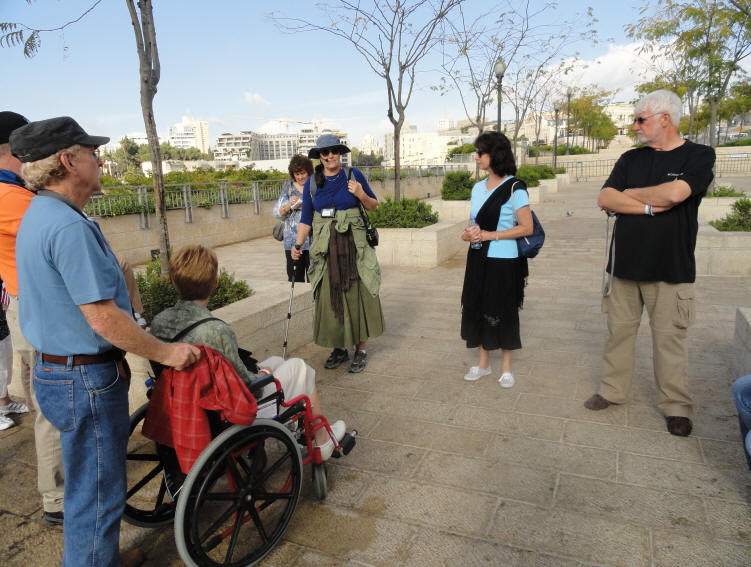
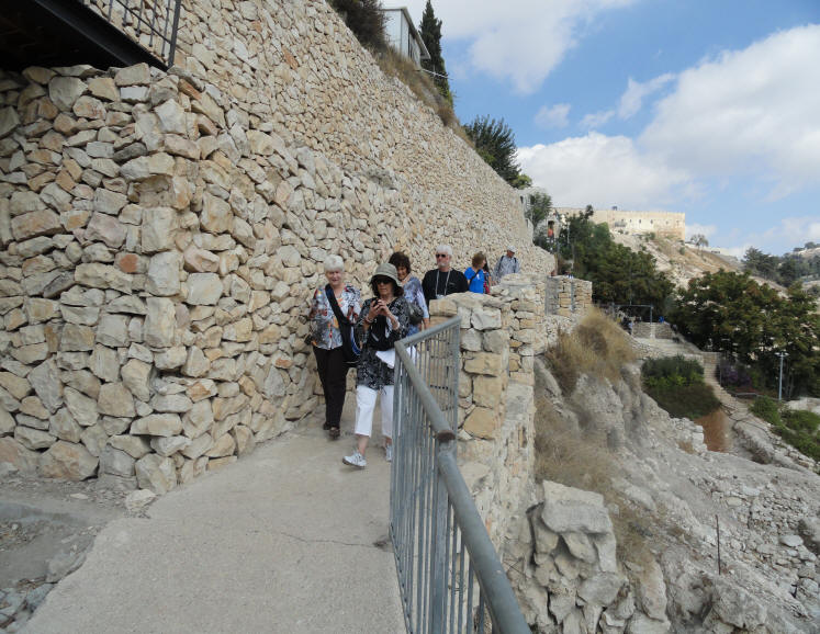
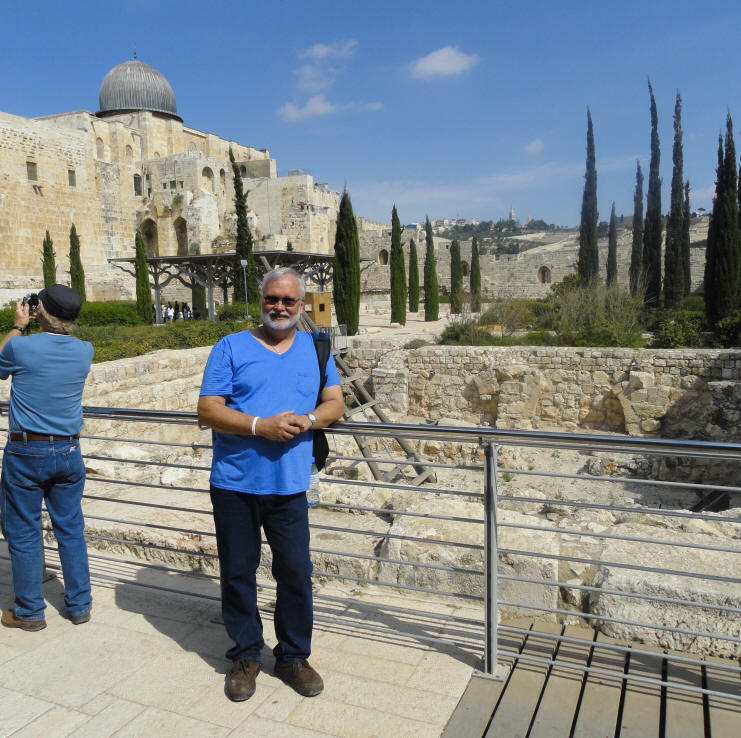
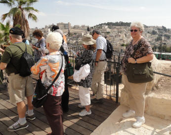
Monday, October 16th, was our first full day in Jerusalem. We were up at 5:30 - down to breakfast at 6:45 - and on the bus by 7:46. The area around the Old City was closed off due to security - which meant we had to do a lot more walking. We were dropped off near the Mamila Mall and walked to Jaffa Gate. By the end of the day we had walked at least 5 miles. Getting off of the bus and ready to start walking toward the Old City
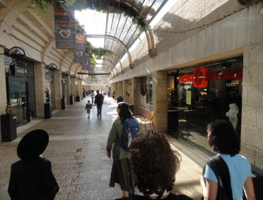
Walking through the Mamila Mall
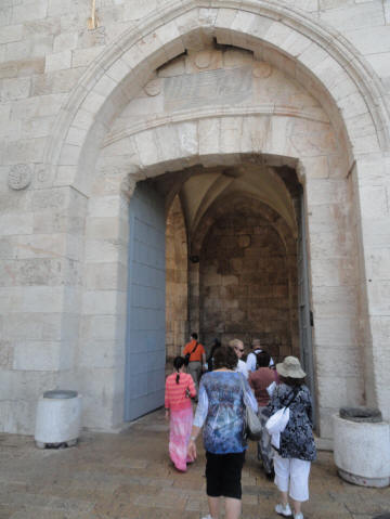
Headed into the Old City
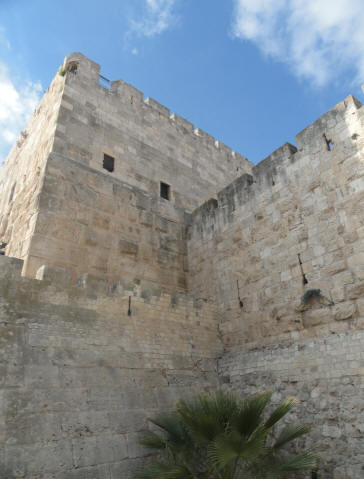
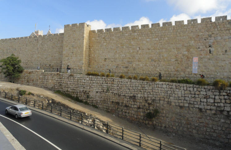
Jaffa Gate and the Old City Walls
The Zion Gate
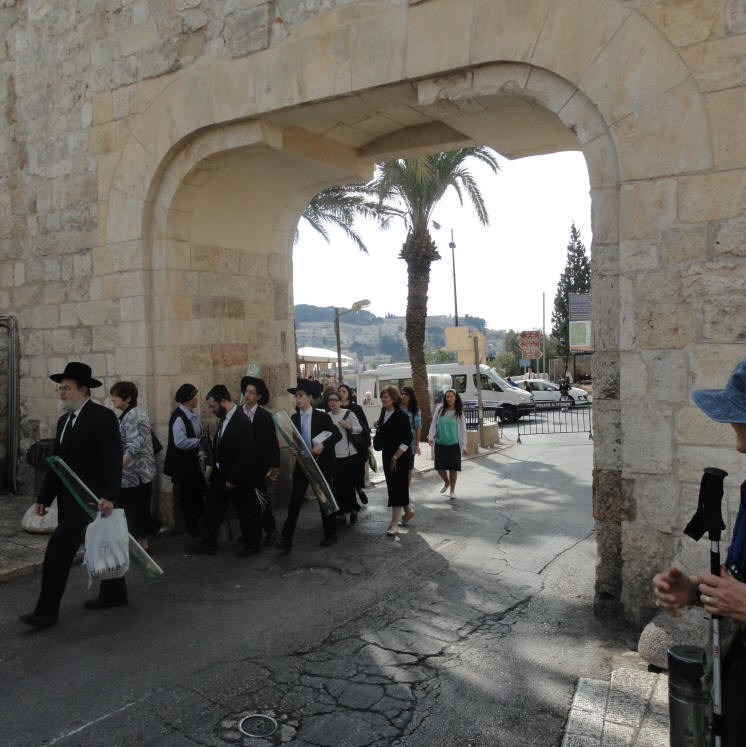
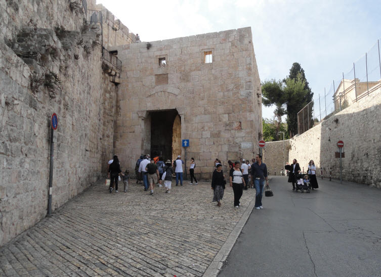
Just inside the Dung Gate
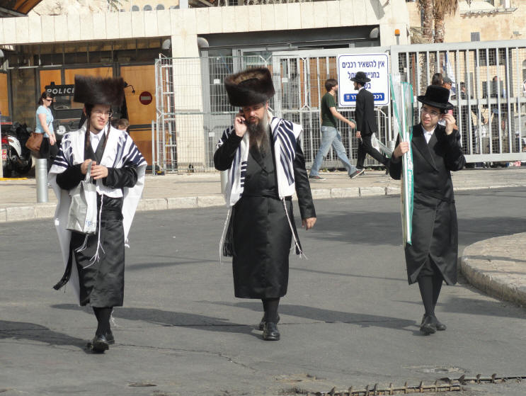
Jews headed to the Western Wall
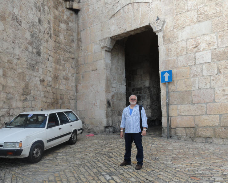
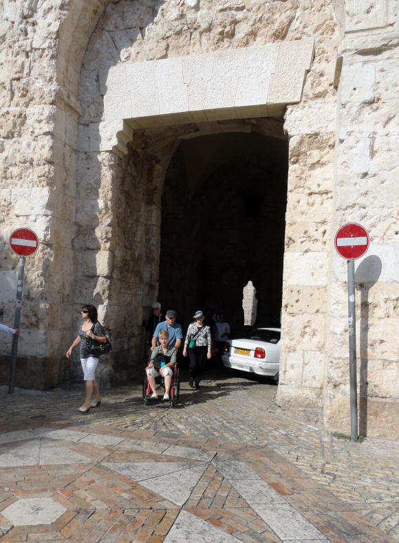
The Dung Gate
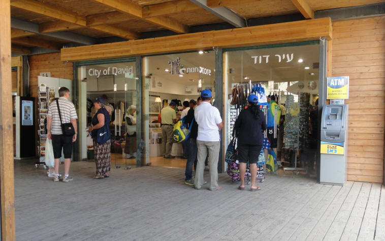
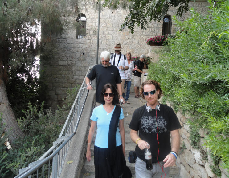
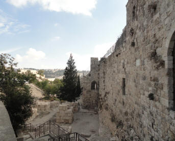
At the City of David
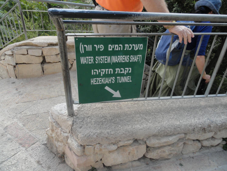
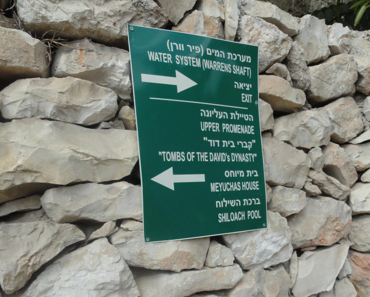
Headed toward Hezekiah's Tunnel & Warren's Shaft
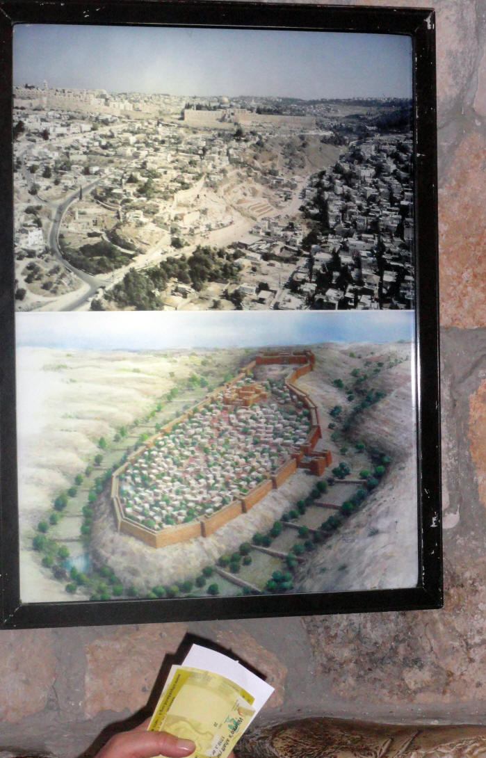
Warren's Shaft is an archaeological feature in Jerusalem that was discovered in 1867 by British engineer Sir Charles Warren (1840–1927). It runs from within the old city to a spot near the Gihon Spring, and after its 19th century discovery was thought to have been the centerpiece of the city's early water supply system, since it would have enabled the city's occupants to safely reach fresh water (which was otherwise unavailable within the city) even if the city itself was besieged.
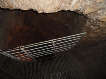
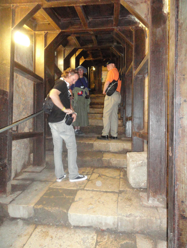
The entrance to Warren's Shaft & Hezekiah's Tunnel
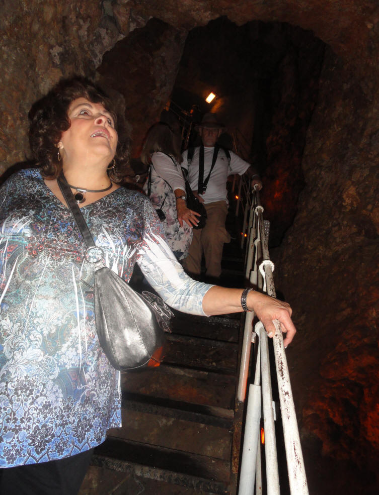
Hezekiah's Tunnel is a wet-tunnel (with water about 2 ft. deep) and Warren's Shaft is a dry-tunnel. Many in the group had originally planned to walk through Hezekiah's Tunnel, but at the last minute everyone opted the dry-tunnel instead.
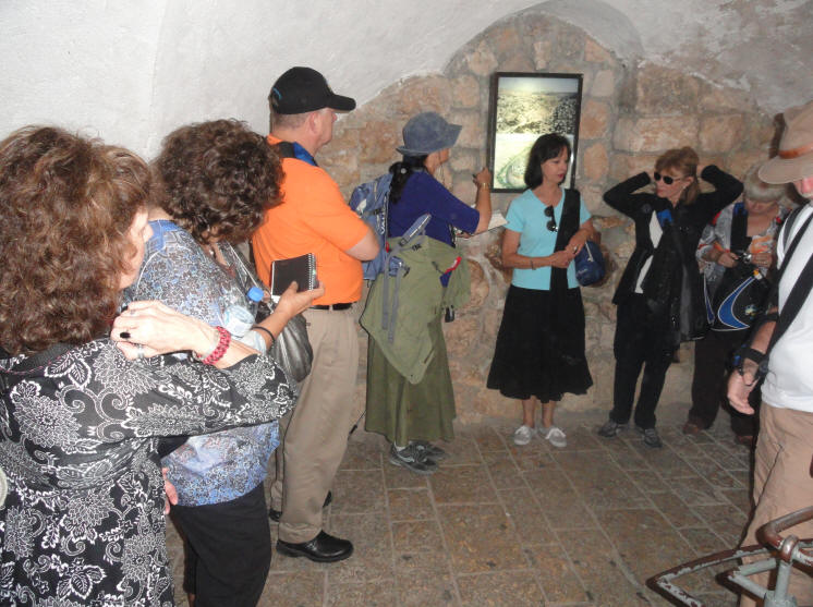
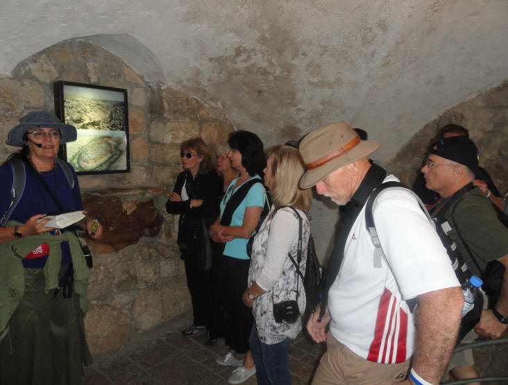
A close-up of the aerial maps/photos on the wall
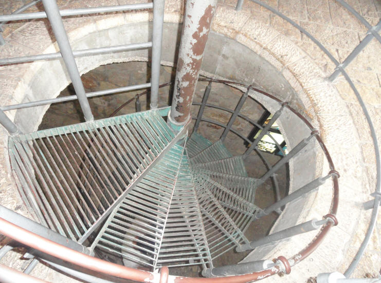
These steps take us down to the where the tunnel begins
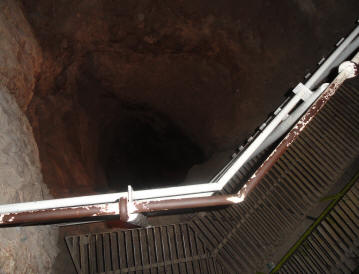
Metal steps help us navigate the first part of Warren's Shaft
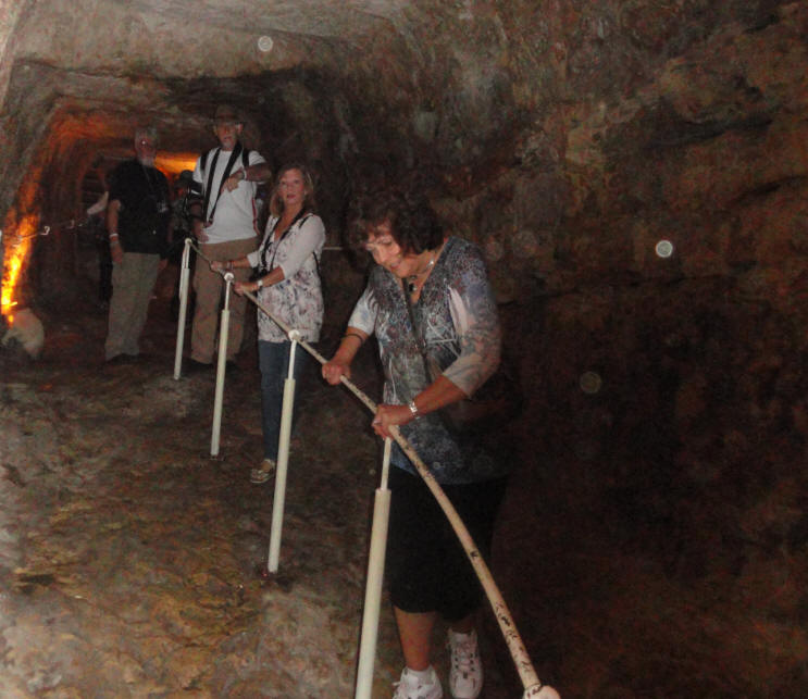
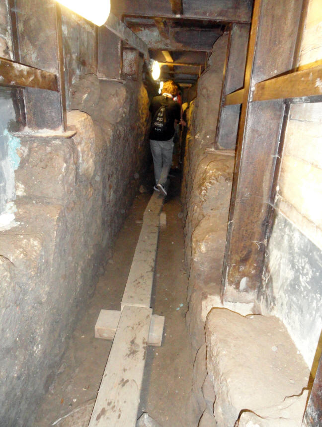
The shaft is composed of four sections in sequence:
(1) a stepped tunnel, (2) a horizontal but curved tunnel, (3) a 14-meter high vertical shaft,
and (4) a feeding tunnel.Then all we had was a hand rail - and some slippery rocks
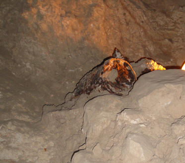
An old rusty bucket more than likely from the time of Warren's expedition
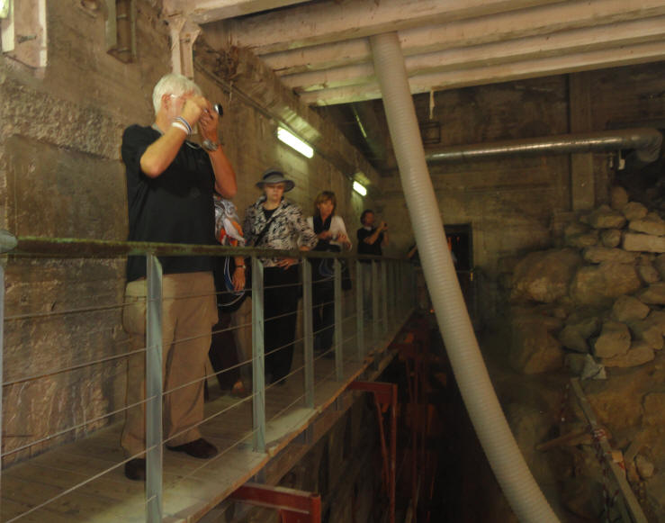
Coming to the end of our expedition into Warren's Shaft
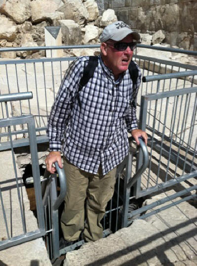
Going through the last part of the tunnel
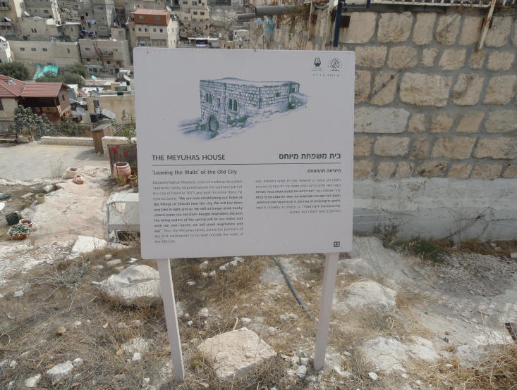
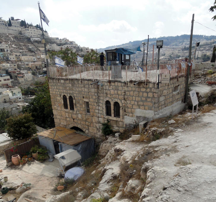
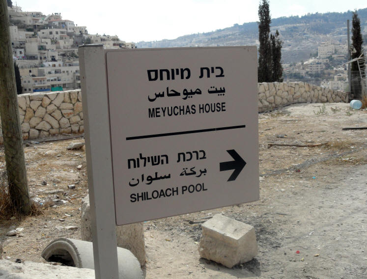
THE MEYUHAS HOUSE
The Meyuhas House near an Arab neighborhood
The Meyuhas House
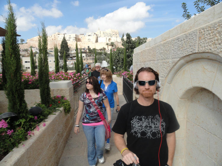
'Leaving the Walls' of the Old City
Rahamim Nathan Meyuhas, scion of a veteran Jerusalem Sephardic family, acquired land in the southern part of the city of David in 1873 and built his home there. He told his family: "We are now establishing our home at the Village of Shiloah near the city. We will live there and take in light and air. We will no longer drink murky cistern water, nor eat store-bought vegetables, because the living waters of the spring will be our water and with our own hands, we will plant vegetables and eat". Thus the Meyuhas family joined the pioneers of the first settlements to be built outside the walls of the Old City.
The Pool of Siloam is a rock-cut pool on the southern slope of the City of David, the original site of Jerusalem, located outside the walls of the Old City to the southeast. The pool was fed by the waters of the Gihon Spring, carried there by two aqueducts.
The Pool of Siloam is mentioned several times in the Bible. Isaiah 8:6 mentions the pool's waters, while Isaiah 22:9 references the construction of Hezekiah's tunnel. For Christians, the pool has additional significance as it is mentioned in the Gospel of John, as the location to which Jesus sent a man who had been blind from birth, as part of the act of healing him.
Ancient records report that during the Second Temple period, there was a lower pool. In the Autumn of 2004, workers excavating for a sewer near the present-day pool, uncovered stone steps and prominent archaeologists were called in; it became obvious to them that these steps were likely to have been part of the Second Temple period pool. Excavations commenced and confirmed the initial supposition; the find was formally announced on August 9, 2005 and received substantial international media attention. The pool is less than 70 yards from the edge of the Byzantine reconstruction of a pool previously thought to be the Siloam Pool. This small pool collected some of the water as it emptied there at the southern end of Hezekiah's tunnel. The water continued on through a channel into the recently discovered Pool of Siloam. The source of the water is from the Gihon Spring located at the northern end of Hezekiah's tunnel on the eastern side of the City of David. An ancient pool (Upper Pool) existed near the Gihon Spring but was no longer used after King Hezekiah redirected the waters to the western side of the city.
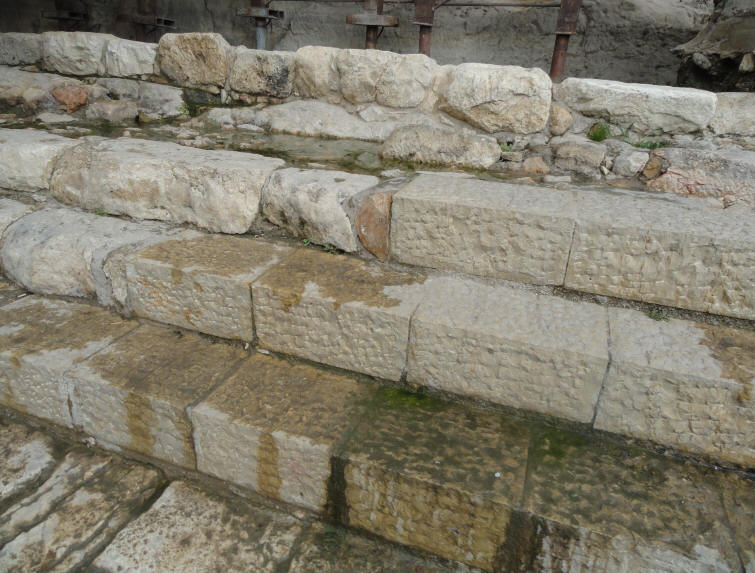
There are three sets of five steps in the lower pool, two leading to a platform, before the bottom is reached, and it has been suggested that the steps were designed to accommodate various water levels. The pool is stone lined, but underneath there is evidence of an earlier version which was merely plastered (to help it retain water). Coins found within this plaster date from 104—76 BC, while a separate collection of coins, dating from the time of the Great Revolt (AD 66—70), were also found. A portion of this pool remains unexcavated, as the land above it is owned by a nearby Greek Orthodox Church and is occupied by an orchard known as the King's Garden.
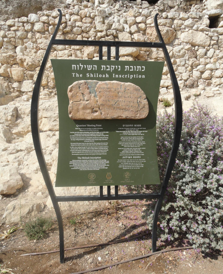
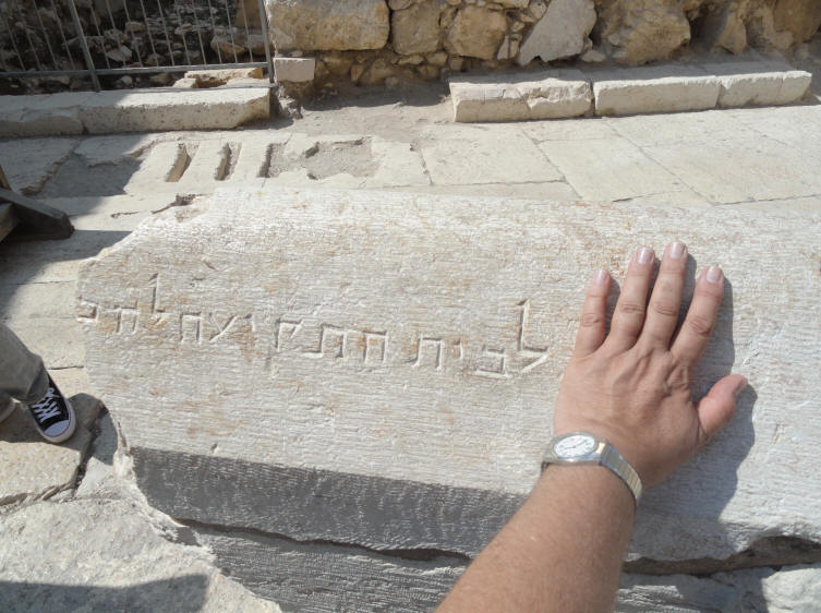
The Shiloah Inscription
The Shiloah Inscription
(from the above sign)Quarriers' Meeting Point
Below the spot you are standing, at a depth of 20 meters, the quarriers of the Shiloah Tunnel met. "And the rest of the deeds of Hezekiah, and all of his might, and how he made the pool and the channel and brought the water to the city - are written in the Book of the Chronicles of the Kings of Judah" (II Kings 20:20). The Shiloah Tunnel (also known as Hezekiah's Tunnel) was constructed during the reign of King Hezekiah in anticipation of the Assyrian siege of Jerusalem in the year 701 B.C.E.
The tunnel, 533 meters long, led water from the Gihon Spring in the east to the Shiloah Pool which is located on the south-western side of the City of David. In 1880, a boy wading through the water discovered an inscription incised on the tunnel wall. The inscription, written in Palaeo-Hebrew, describes the final moments of the tunnel's construction by two work teams quarrying towards each other from opposite ends, and their dramatic meeting deep underground. The inscription is preserved today in the Istanbul Archeological Museum.
The Shiloah Inscription
[The] tunneling [is completed]. And this is the account of the tunneling: While [the hewers were swinging their axe(s) one (group) towards the other with three cubits yet to be hewn, a man's voice was heard calling out to his fellow (worker). For there was a zidda (fissure?) in the rock to the right and to the left. And on the day of the tunneling the hewers bore through, one man towards the other, axe upon axe, and the waters flowed from the source to the pool, one thousand and two hundred cubits, and a [hu]ndred cubits was the height of the rock above the heads of the hewers.
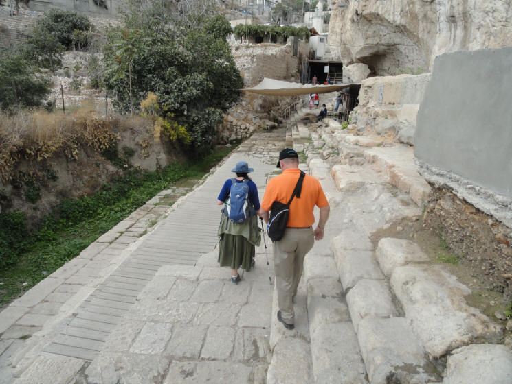
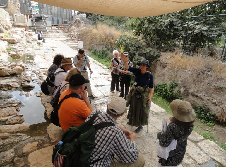
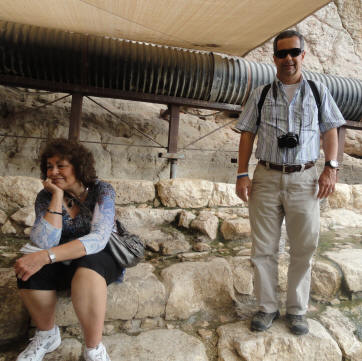
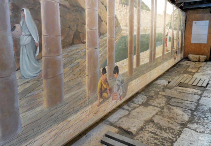
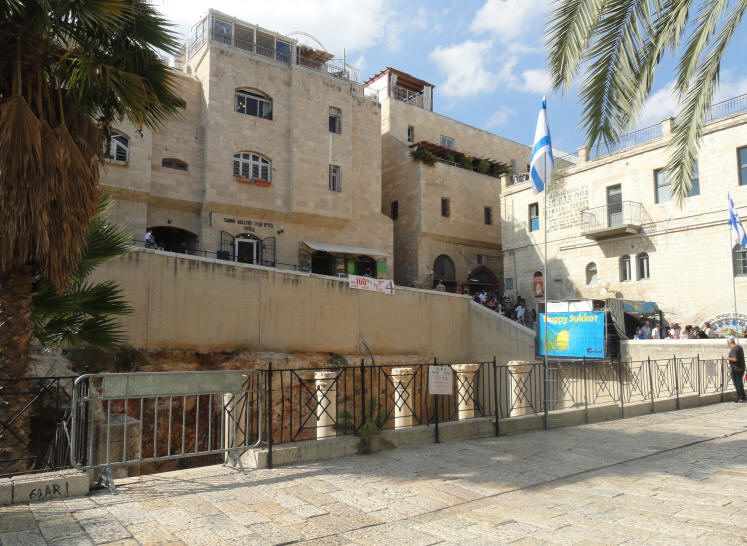
Our first look at the Pool of Shiloah
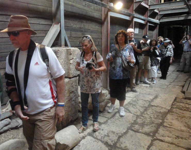
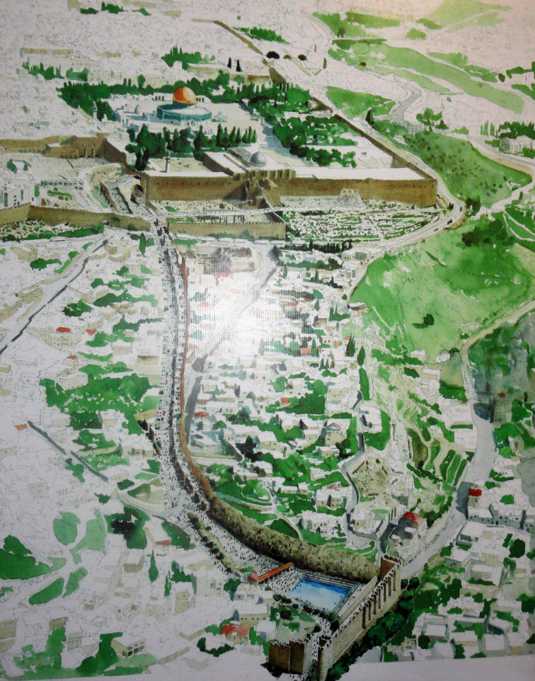
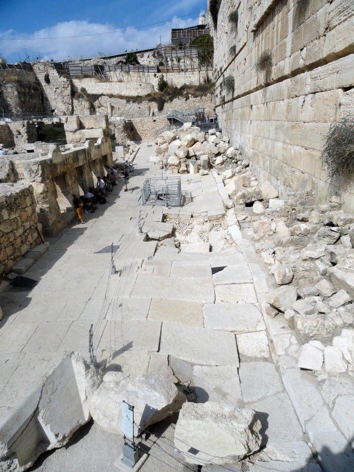
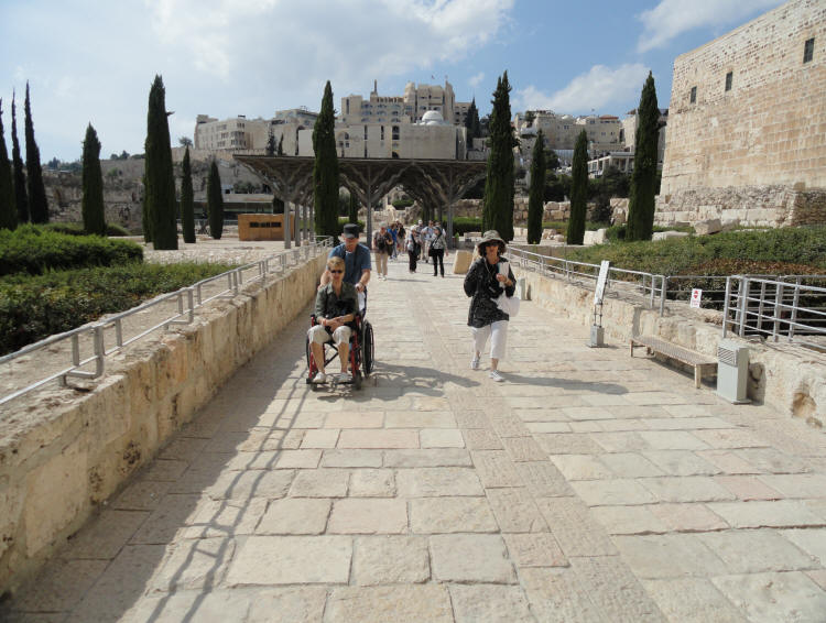
We left the Herodian street beside the Pool of Shiloah (above) and walked underground up the hill on the Stepped-Road. We were then able to take a newly opened drainage canal and continue, exiting on the Herodian street by the western wall below Robinson’s Arch, a distance of 650m. Everyone was excited to be walking on 2000-year-old paving stones and in the drainage channel where Josephus wrote that Jerusalem residents hid from the Romans at the time of the destruction of the 2nd Temple.
The Stepped-Road - notice the stone we're walking on
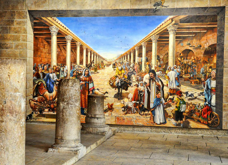
Mural showing the Pool of Shiloah beside the Stepped-Road
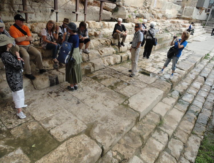
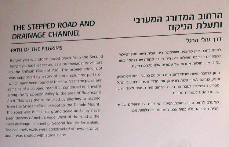
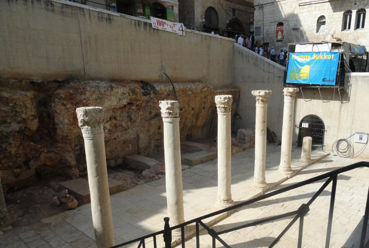
The Stepped-Road And Drainage Channel
Path of the Pilgrims
Before you is a stone-paved plaza from the Second Temple period that served as a promenade for visitors to the Shiloah (Siloam) Pool. The promenade's roof was supported by a row of stone columns, parts of which have been found at the site. Near the plaza are remains of a stepped road that continued northward along the Tyropoeon Valley to the area of Robinson's Arch. This was the route used by pilgrims to ascend from the Shiloah (Siloam) Pool to the Temple Mount. The road was bult on a grand scale and may have been dozens of meters wide. West of the road is the main drainage channel of Second Temple Jerusalem. The channel's walls were constructed of hewn stones and it was roofed with stone slabs.
To get an idea of our trek through the extremely narrow drainage canal, look at the photo below.
We started at the Pool of Shiloah at the bottom of the photo and walked through the narrow canal
up to Robinson's Arch on the inside of the Old City Walls - just follow the brown colored path.
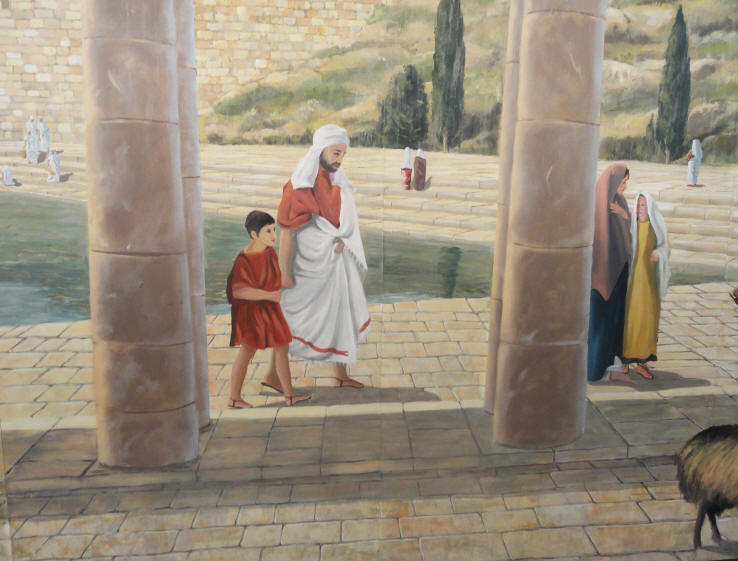
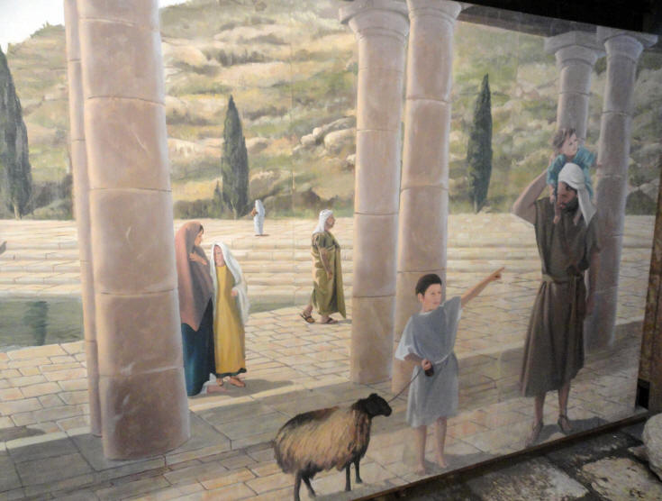
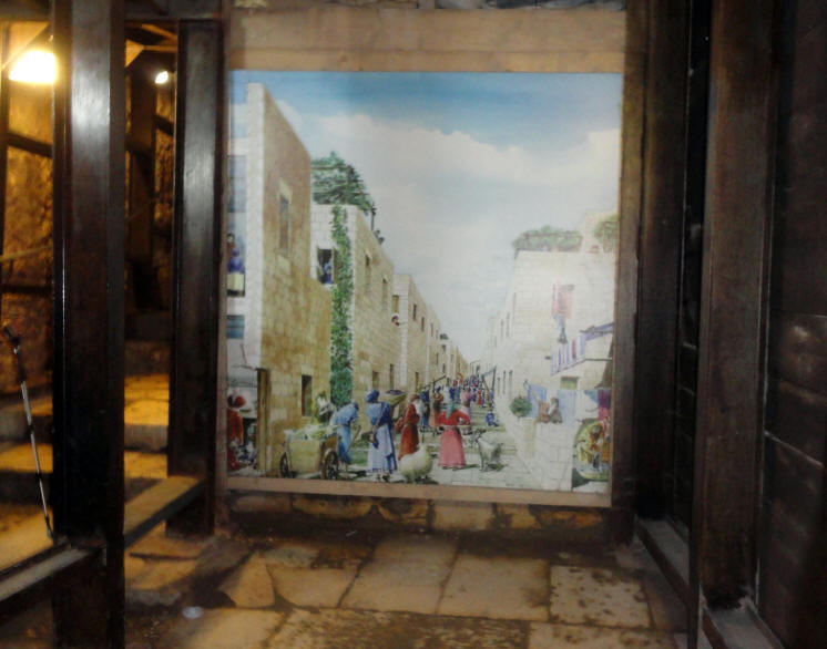
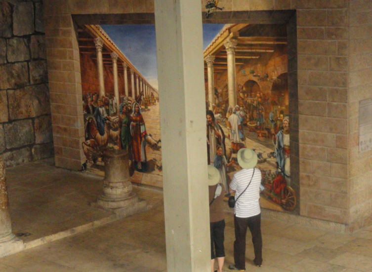
An artist's rendition of the Stepped-Road during the time of Yeshua
Note the stones below the photo of the stepped road
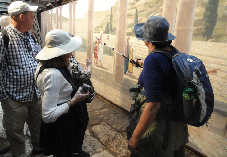
Folks stop for a photo of the above mural
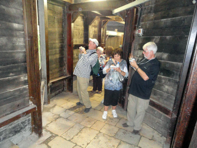
Continuing up the Stepped-Road toward the drainage canal
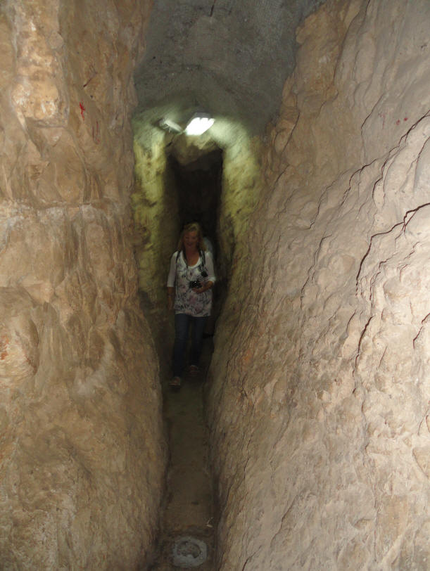
As we continue through the drainage canal, the path gets narrower and narrower
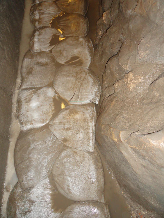
A closer look at the 2000+ year old stones in the drainage canal
The floor (or ground) we walked on toward the end of the trek was
composed of sand bags to make the hike easier and less slippery
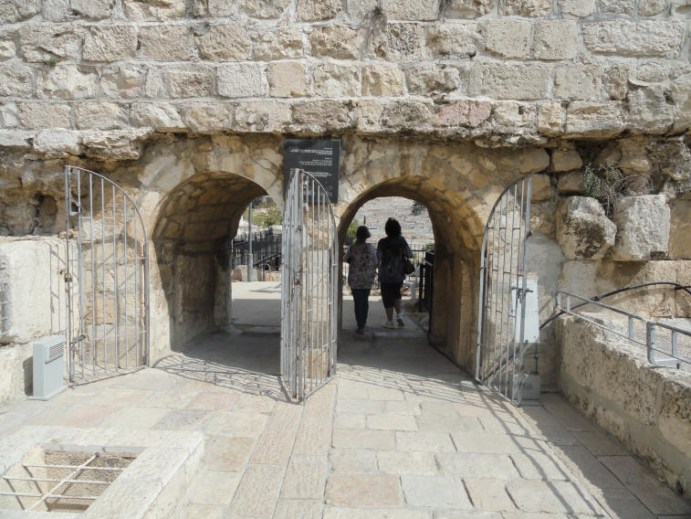
We exited from the drainage canal through this small hole via the provided metal ladder & steps
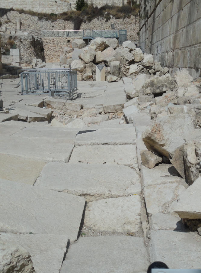
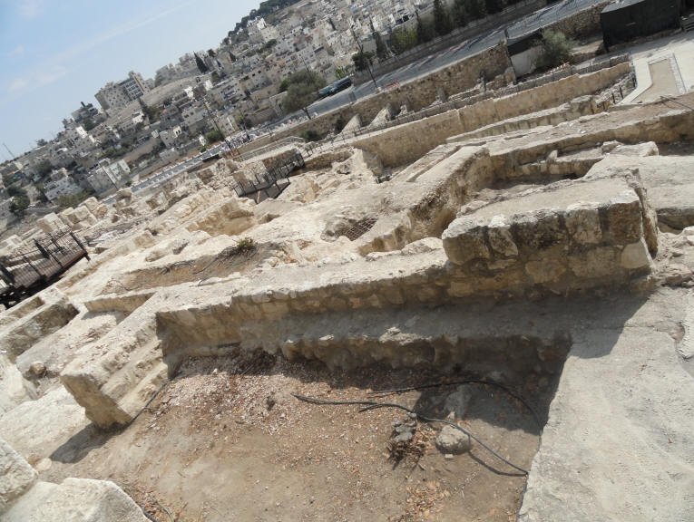
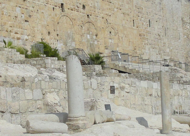
The Ancient Road was fully uncovered in the mid-1990s and dates to the decades before the city's destruction by the Romans in 70 A.D. The following photos show the remains of Jerusalem's main street, running the length of the Western Wall along about one kilometer (slightly more than half a mile), in the late Second Temple period. The street was paved with flagstones and edged with curbstones. It had two large drainage channels running beneath it, and shops opened onto the street on both sides. The street is 10 meters wide and was paved with large slabs up to a foot thick. The street was covered with massive stones pushed down by the Romans; only part of the street has been cleared by the excavators. When the Romans conquered Israel,
they destroyed the Temple - pushing the stones down to the street below
This photo of the Ancient Street shows the location of the ancient shops on the left
and part of Robinson's Arch on the upper right
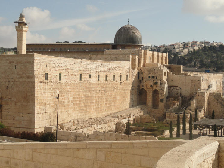
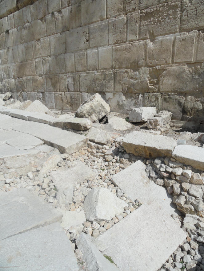
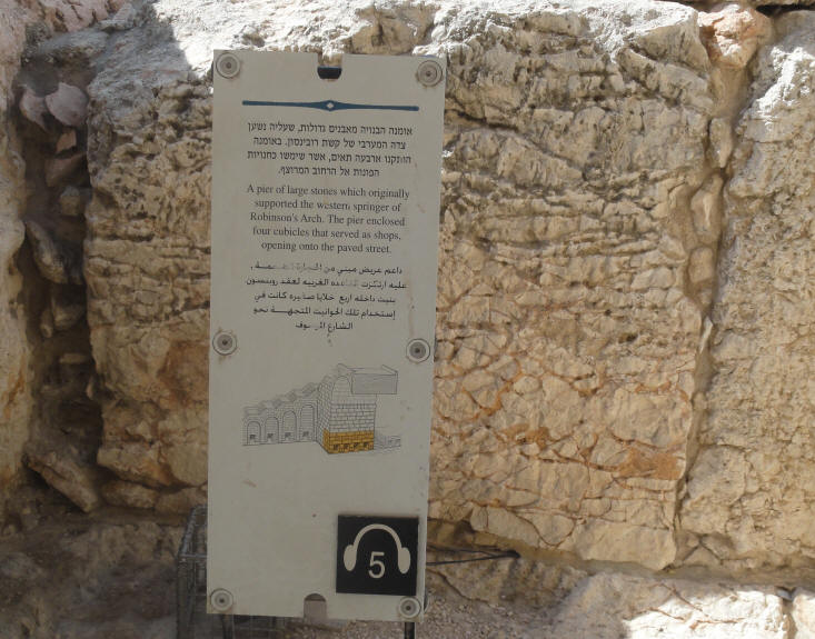
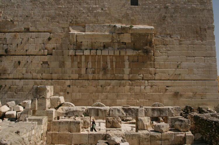
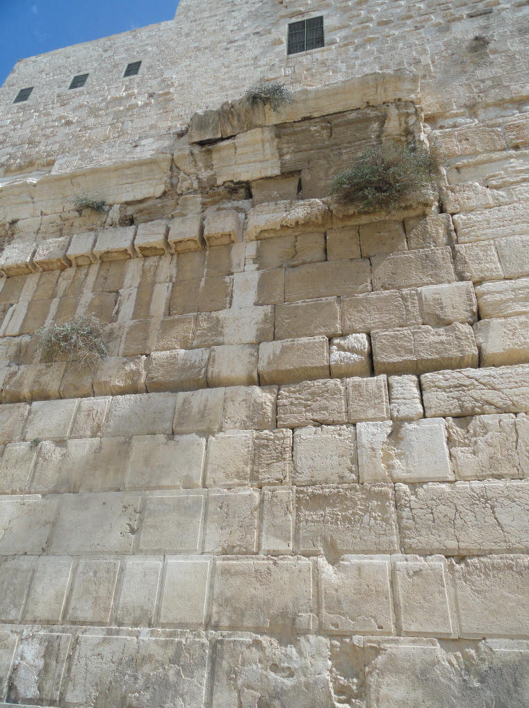
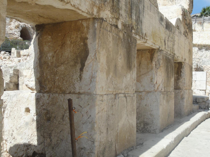
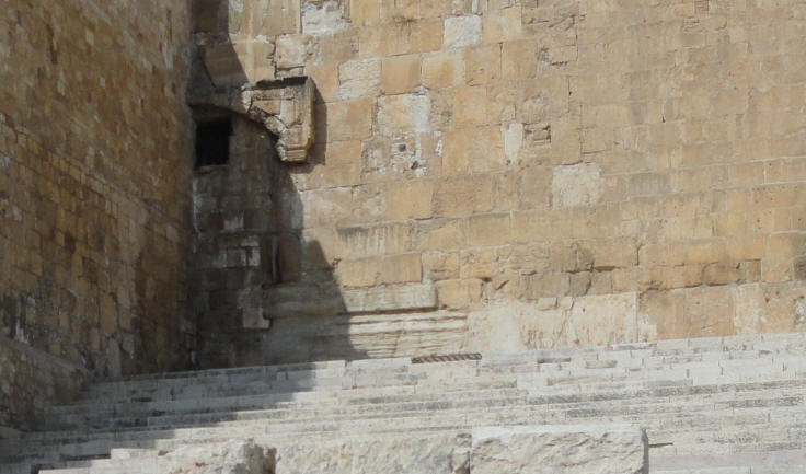
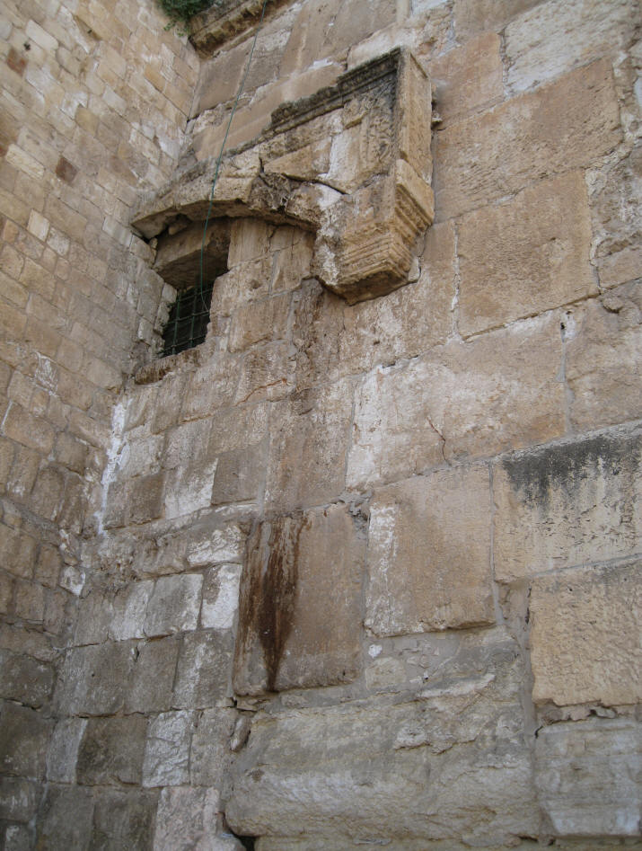
Near the Ancient Road is a series of stones referred to as Robinson's Arch. Robinson's Arch is the name given to an arch that once stood at the southwestern corner of the Temple Mount. It was built by Herod the Great during his reconstruction of the Second Temple at the end of the 1st century BCE. The massive stone span was constructed along with the retaining walls of the Temple Mount. It carried traffic up from ancient Jerusalem's Lower Market area and over the Tyropoeon Street to the Royal Colonnade on the esplanade of the Mount.
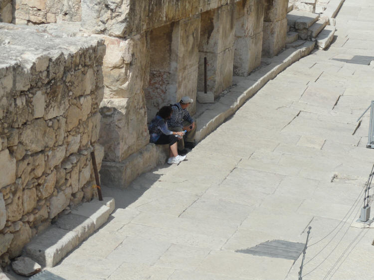
A pier of large stones which originally supported the western springer of Robinson's Arch. The pier enclosed four cubicles that served as shops, opening onto the paved street.
The site of former shops near the Ancient Road and Robinson's Arch
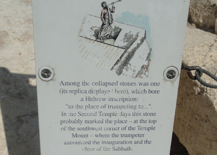
Along the collapsed stones was one (its replica displayed here) which bore a Hebrew inscription: "to the place of trumpeting to...". In the Second Temple days this stone probably marked the place - at the top of the southwest corner of the Temple Mount - where the trumpeter announced the inauguration and the close of the the Sabbath.
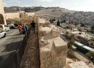
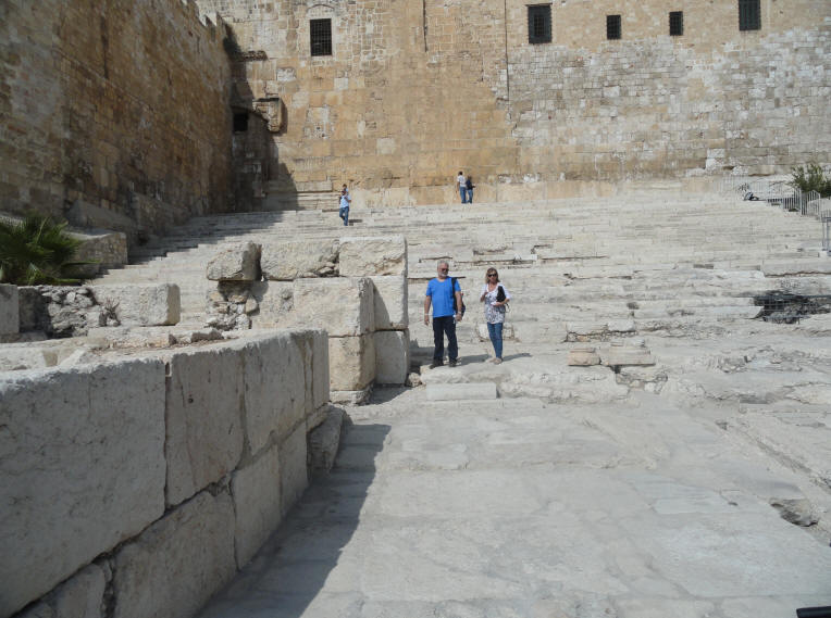
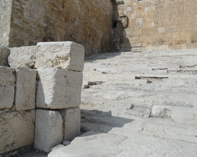
Looking at the southern retaining wall of the Temple Mount
Walking toward the Southern Steps
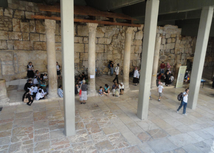
Ruins on the southern side of the Temple Mount
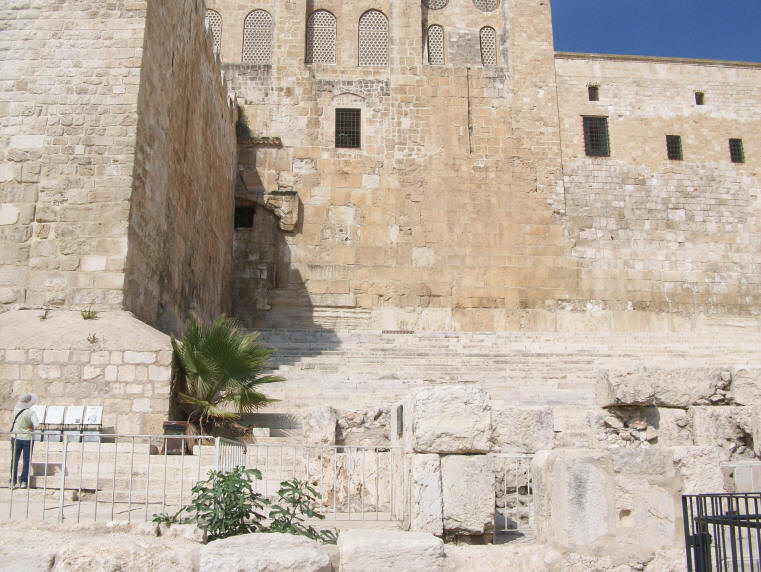
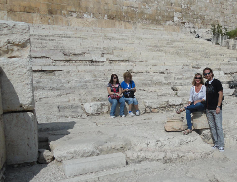
The Southern Steps of the Temple Mount
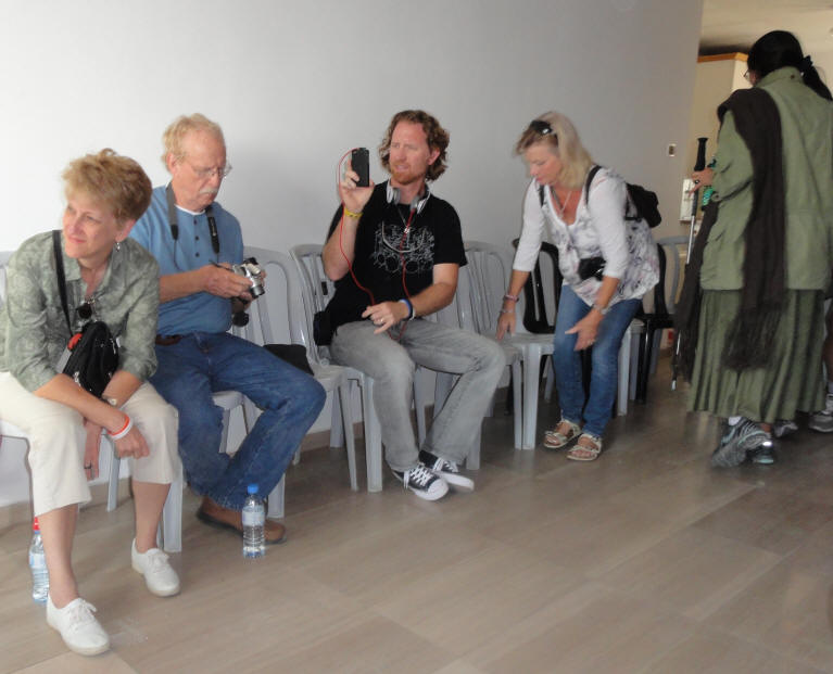
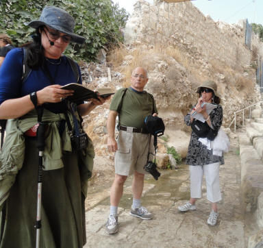
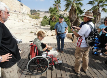
The group listens as Pamela (our tour guide) talks about the Southern Steps of the Temple
The Double Gate
The Double Gate (and Triple Gates), also called the Huldah Gates, provided access to the Temple Mount through subterranean passageways. Half of the lintel stone and relieving arch of this Herodian gateway is visible above the later protruding arch. Above and to the right is a stone with an inscription mentioning Hadrian's son (138 A.D.). Its position upside down clearly indicates that it is in secondary use. The Triple Gates
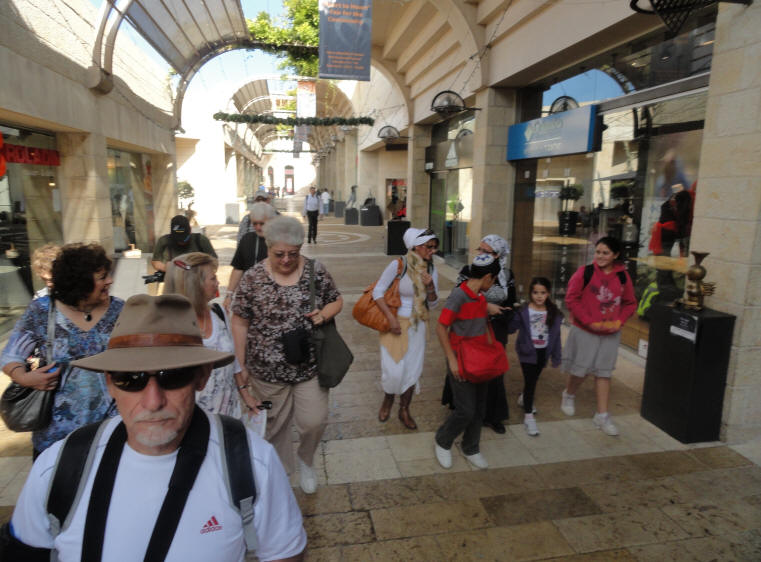
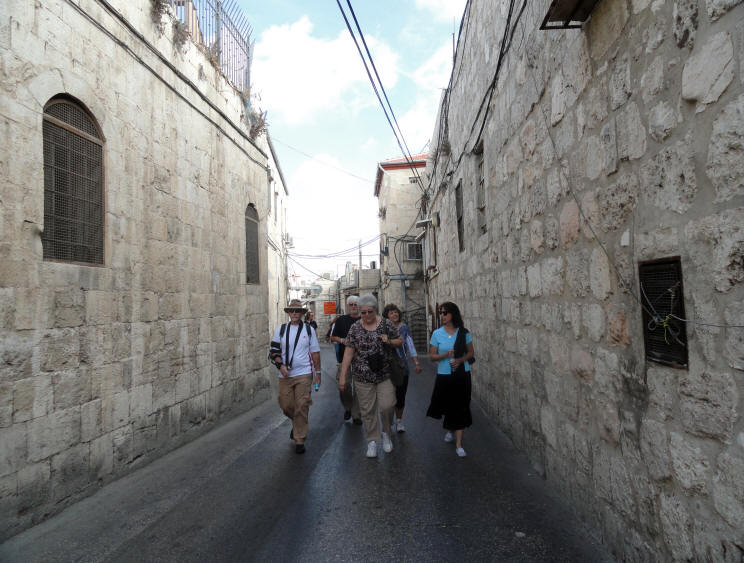
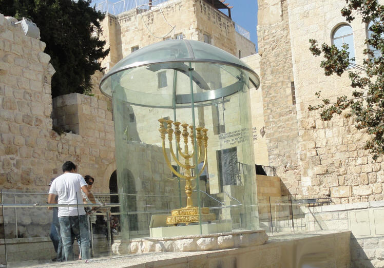
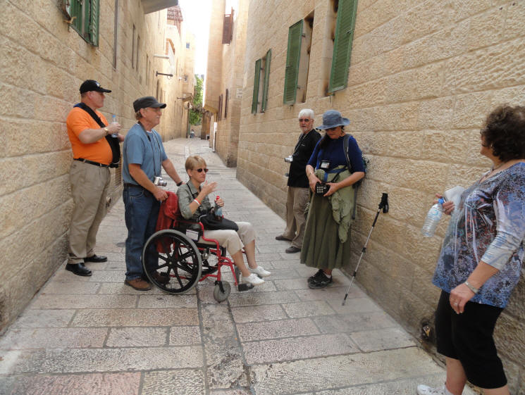
After we left the Southern Steps, we walked through the Old City looking for a place to have lunch. The Old City of Jerusalem is amazing. There are always so many things to see - and some wonderful opportunities for shopping, too. The Menorah for the future Temple - constructed by the Temple Institute - and on public display
Walking through the Old City - I love the Jerusalem Stone streets
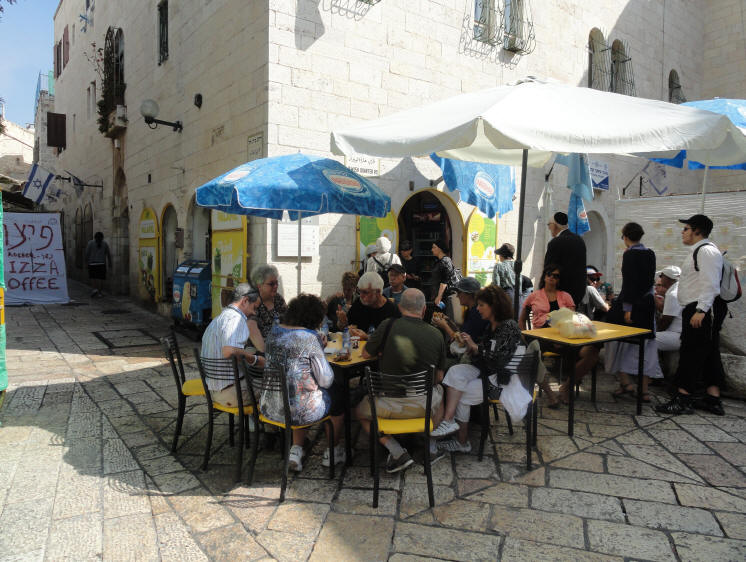
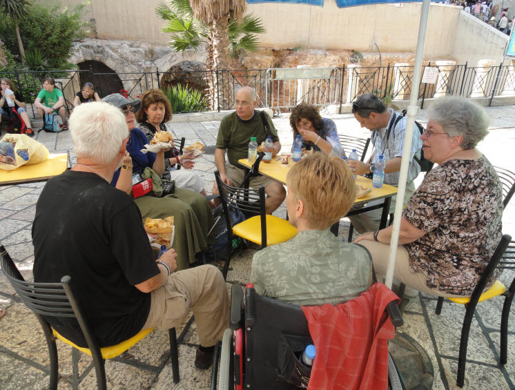
We stopped for a falafel lunch in the Jewish Quarter of the Old City
Cardo Street (Below the fence) was our view from where we ate lunch
"Cardo" was a north-south oriented street in Roman cities
A mural shows what the Cardo Street would have looked like during the time of Yeshua
with Roman columns, stone street and lots of shops
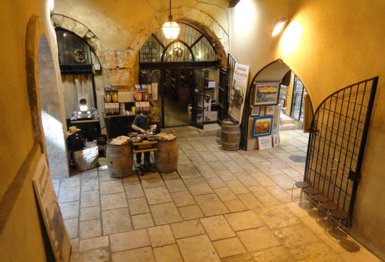
A Cardo Street shop
Shorashim Shop in the Jewish Quarter was one of our favorite places on our 2005 trip
We stopped by, did some shopping, and had the opportunity to catch up with he store owner, Dov
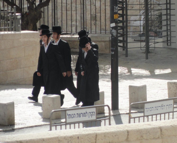
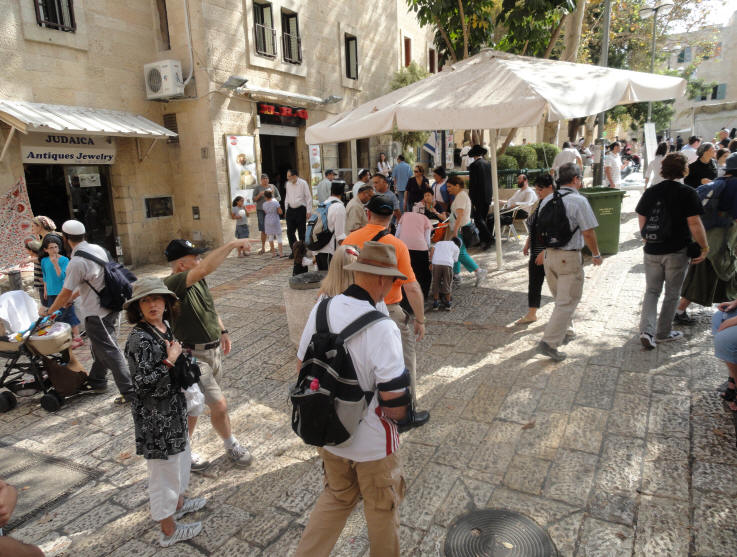
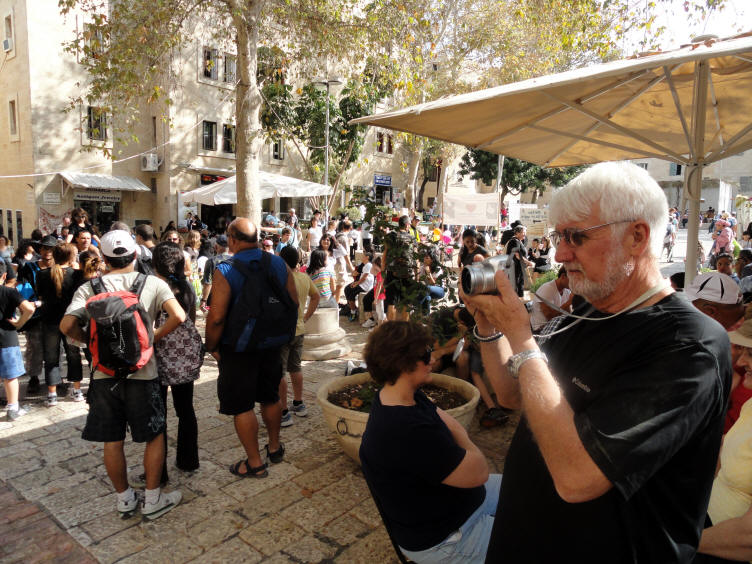
Because of the increased security in the city, the Old City streets were packed
with visitors for the Feast of Sukkot (Tabernacles/Booths)
Zechariah 8 4-5: "...There shall yet old men and old women dwell in the streets of Jerusalem ...
And the streets of the city shall be full of boys and girls playing in the streets thereof."Heading toward Zion Gate
Paul & Susan, Doug and Joyce come through the other side of Zion Gate
We left the Old City of Jerusalem, boarded the Sar-El tour bus, and headed toward a planned meeting with Gershon Solomon of the Temple Mount Faithful. The goal of the Temple Mount and Land of Israel Faithful Movement is the building of the Third Temple on the Temple Mount in Jerusalem in our lifetime in accordance with the Word of G-d and all the Hebrew prophets and the liberation of the Temple Mount from Arab (Islamic) occupation so that it may be consecrated to the Name of God.
On the bus - headed to the Temple Mount Faithful
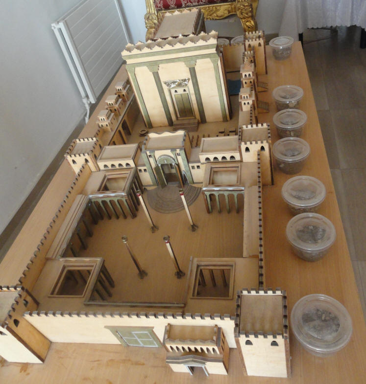
Temple model at the Temple Mount Faithful
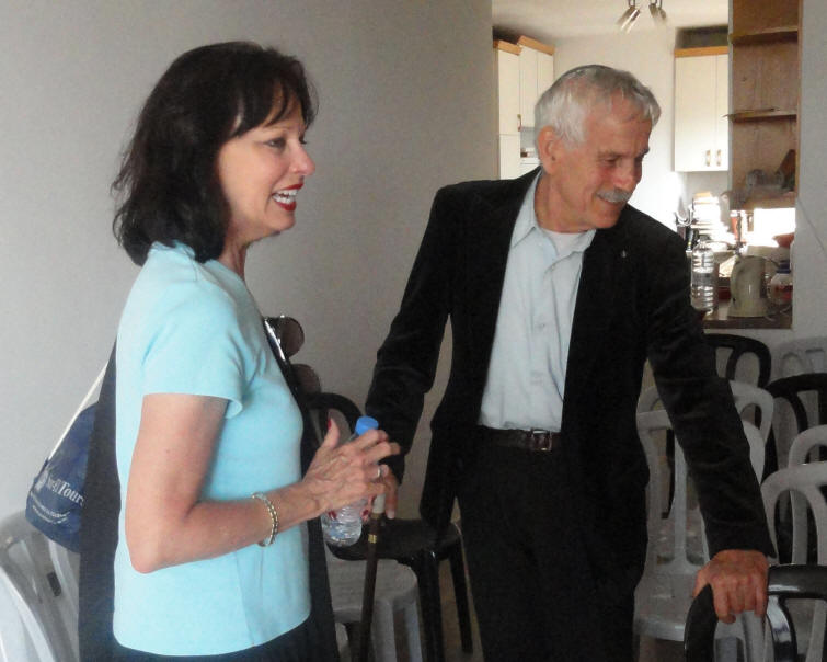
Cathy meets Gershon Solomon
Gershon Solomon
Video 1 - Click Here
"Why Did You Come to Israel?Video 2 - Click Here
"I am not trying to change faith or concert"Video 3 - Click Here
"Hebrew is a holy language. Hebrew will become the language of all humanity"Video 4 - Click Here
"Why are you attracted to Jerusalem & the people of God?
He chose you from among millions of people to be the pioneers of your time."Video 5 - Click Here
"When He (Messiah) comes, first or second time,
He will speak only Hebrew"Video 6 - Click Here
"I feel your heart as family. When I say we love you, it is not just to flatter you.
I am not a Christian - I'm a Jew. Why do you call him Jesus? This was not his name."Video 7 - Click Here
More Photos and Information From the 2011 Sukkot Trip
Day 2 - 13 Oct 2011 Day 3 - 14 Oct 2011 Day 4 - 15 Oct 2011 Day 5 - 16 Oct 2011 Day 6 - 17 Oct 2011 Day 7 - 18 Oct 2011 Day 8 - 19 Oct 2011 Day 9 - 20 Oct 2011 Day 10 - 21 Oct 2011 Day 11 - 22 Oct 2011 Day 12 - 23 Oct 2011